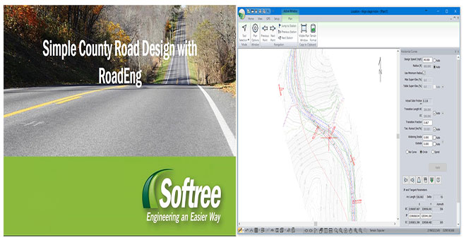
RoadEng Civil Engineer - A robust software for road and corridor design engineers
RoadEng Civil Engineer is a robust software to be utilized with objects like surfaces, cross sections, alignments, drainage structures, and templates. It is effective for designing roads and corridors with drone-collected data, LiDAR data, total station, traverse data and GPS.
RoadEng offers the following functionalities :-
- Survey Data Management - Along with LiDAR, Total Station, GPS & Traverse Data
- 3D Terrain Modelling & Contour Generation
- Site Design - Along with graded pads, ponds, culverts, & bridge sites
- Geometric Road Design
- Cross-Section & Template Control
- Earthwork Quantities
- Output Sheets - Plan/Profile, Cross-Section
This tool is used for making the design of linear based projects together with resource roads, construction access, pad design, pipelines, pedestrian trails, etc. RoadEng Civil Engineer is also applied for controlling large LiDAR base plans, conceptual engineering, earthworks balance, and preparation of final drawings (plan-profile-cross sections-mass haul).
The most updated version is ROADENG VERSION 8 + and it contains some unique features like Multi-Plot Report Builder, Design & Organization of Multiple Roads, GPS Integration etc.
Click on the following link to download a free trial version.
https://mail.softree.com/Trial-Registration
To get more details, go through the following youtube video tutorial.

